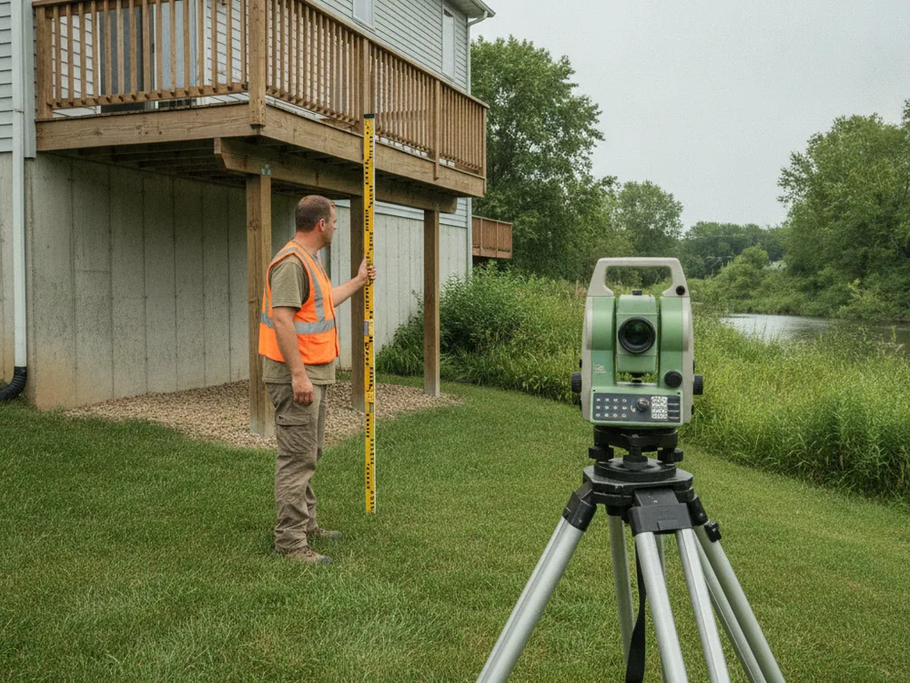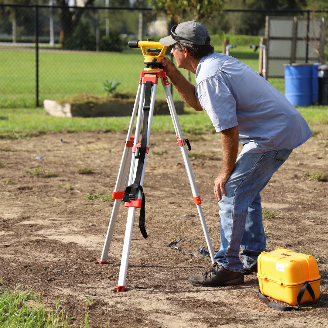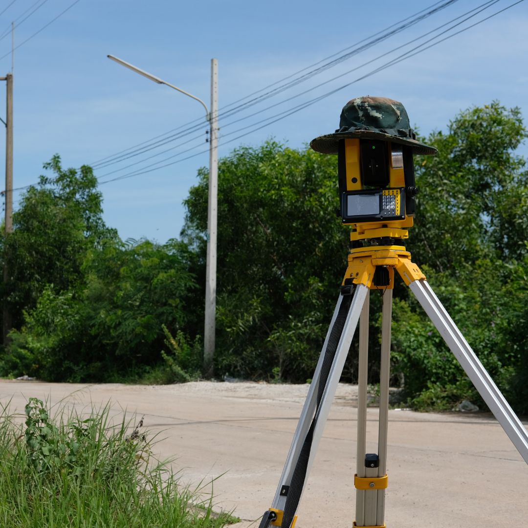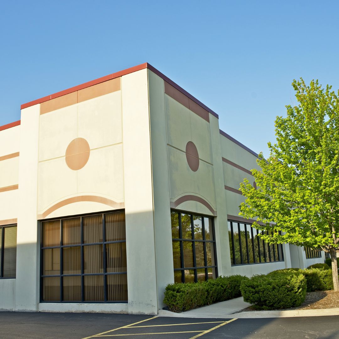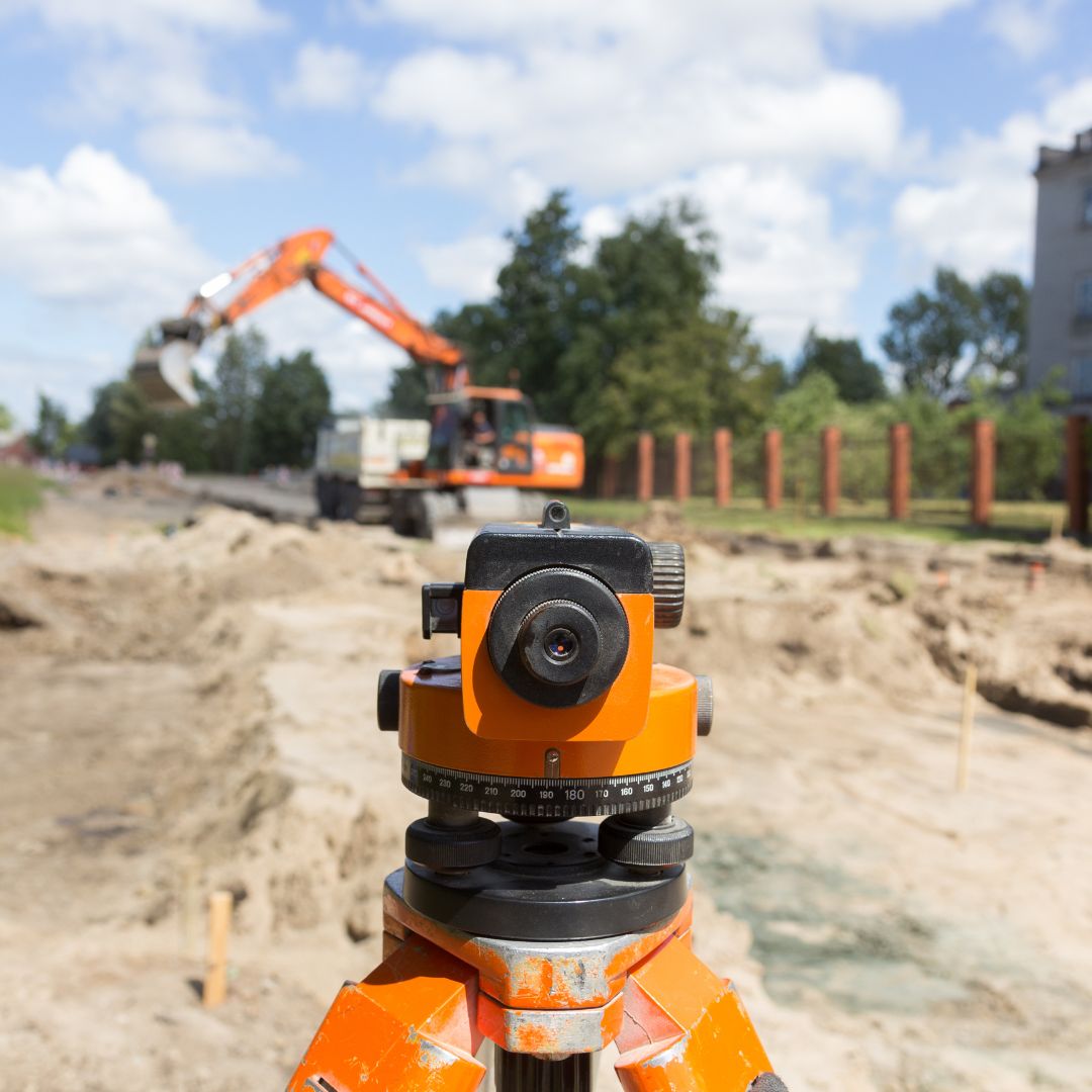
We complete the current FEMA Elevation Certificate form using surveyed elevation data.
Lowest floor, adjacent grade, and machinery elevations are measured to the applicable datum.
The certificate ties your structure to the applicable FEMA Flood Insurance Rate Map panel.
The sealed certificate supports flood insurance rating and floodplain-development permit review.

The form documents measured elevations of the lowest floor and other reference features, certified by a licensed surveyor to a known vertical datum.
An Elevation Certificate provides the elevation information insurers and lenders commonly request when a property is in a flood hazard area.
The certificate helps demonstrate how a structure relates to the base flood elevation for local floodplain permitting requirements.
Work is completed on the official FEMA Elevation Certificate form and signed by an Illinois-licensed professional land surveyor.
Pi Surveying provides land surveys for both the private and commercial sector.
Get started on your next project with Pi Surveying’s expert land surveying services. Contact us today to schedule your survey and get accurate and reliable results.
Don’t take our word for it. Here’s what clients have to say…
Find answers to commonly asked questions about ALTA/NSPS Land Title Surveys, providing clarity and information for property transactions.
It is typically requested by a flood insurance provider, lender, or local floodplain administrator to document how a building’s elevation compares to the base flood elevation. This information is used in flood insurance rating and floodplain compliance.
The certificate documents elevation facts; it does not set premiums. How that data affects a policy is determined by the insurer and the applicable National Flood Insurance Program rules, so results vary by property.
The surveyor performs field measurements of the building, its lowest floor, and related features, references the flood map and datum, then completes and certifies the official FEMA form.