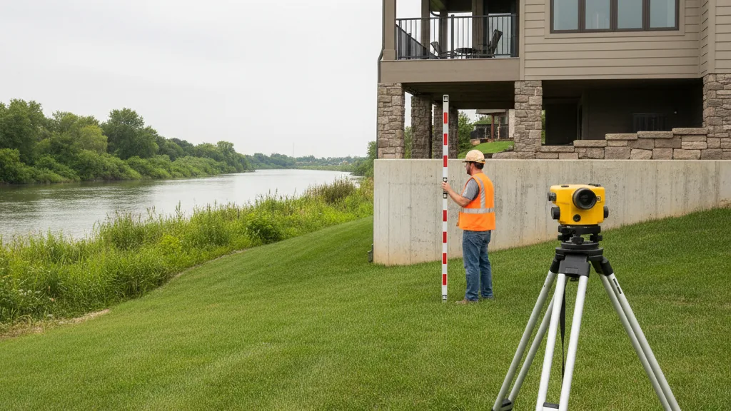
Pi Surveying provides a comprehensive range of land surveying services for residential, commercial, and industrial projects. From boundary surveys to construction staking, trust our team of experienced surveyors to deliver accurate and reliable results.
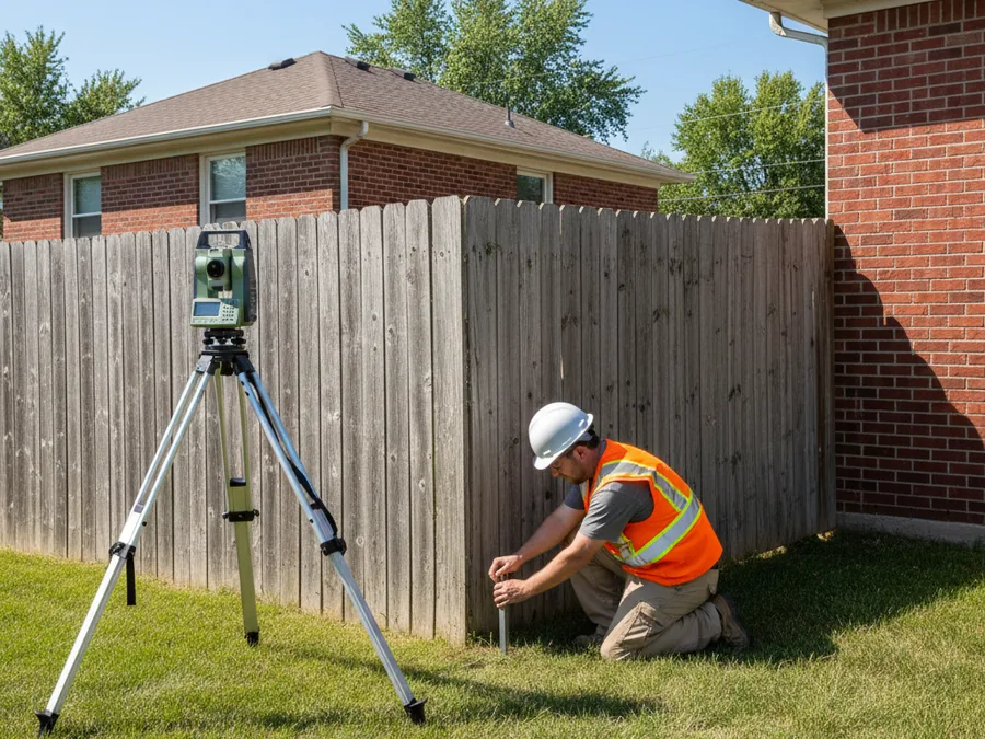
Often used in residential real estate closings, a boundary survey identifies and establishes the location of ownership lines on a parcel of land. Pi Surveying will provide you with accurate land measurements and a thorough rigid analysis and physical boundary evidence, ensuring you can move forward with confidence.
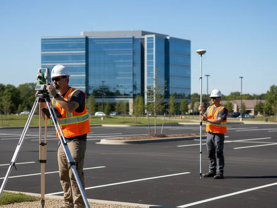
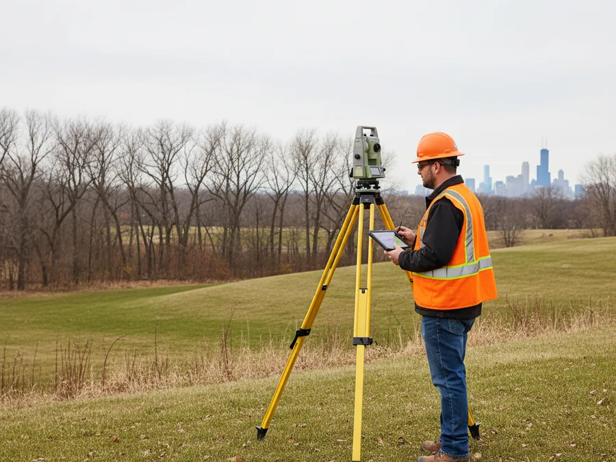
Understand the contour, geography and features of your site, such as trees, buildings, streets, utility poles, etc. Pi Surveying uses the latest technology – including Global Positioning Systems (GPS) and robotic Total Positioning Stations (TPS) – to render highly precise, clearly detailed topographical maps of the subject property.
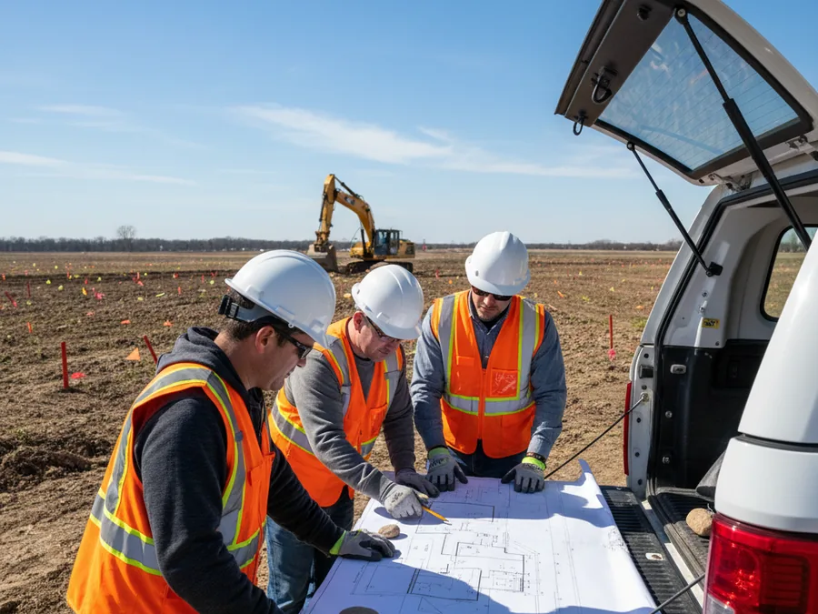
Trust Pi Surveying to help you maximize the value of your property for commercial, residential or municipal use. With our wide breadth of services, our depth of expertise and our reputation for outstanding service, we can help with all of your land development needs.
A surveyor-certified FEMA Elevation Certificate documents your building’s elevation relative to the base flood elevation. It is commonly used to rate flood insurance and support local floodplain permitting across Chicagoland.
Get started on your next project with Pi Surveying’s expert land surveying services. Contact us today to schedule your survey and get accurate and reliable results.
Don’t take our word for it. Here’s what clients have to say…