Boundary, topographic, ALTA, staking, and platting managed through a single survey firm.
Survey services scoped and sequenced to support your project schedule and approvals.
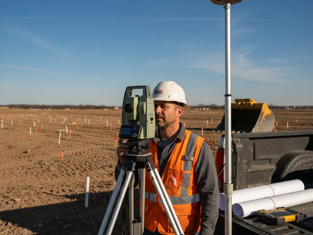
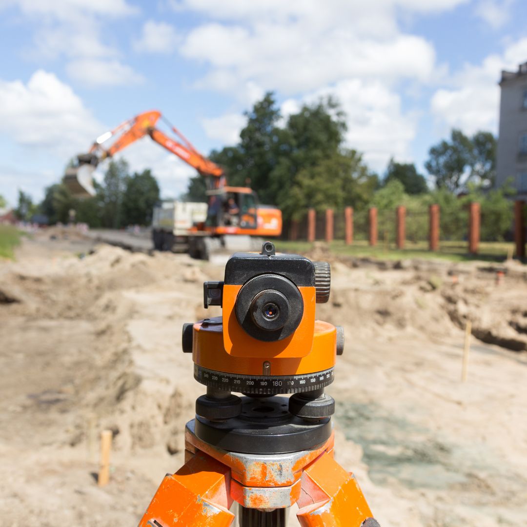
Field staking sets your design points and grades for accurate construction layout.
All deliverables sealed by an Illinois Professional Land Surveyor for agency approval.

Boundary, topographic, ALTA, staking, and platting work is tied to one set of project control so all deliverables align.
Plats and exhibits are prepared to the format and review standards of the applicable Chicagoland municipality and county.
From due diligence and design through construction layout and final as-built, survey support is available at each stage.
All surveys and plats are prepared under the responsible charge of an Illinois Professional Land Surveyor and sealed as required.
Pi Surveying provides land surveys for both the private and commercial sector.
Get started on your next project with Pi Surveying’s expert land surveying services. Contact us today to schedule your survey and get accurate and reliable results.
Don’t take our word for it. Here’s what clients have to say…
Find answers to commonly asked questions about ALTA/NSPS Land Title Surveys, providing clarity and information for property transactions.
Projects commonly need a boundary survey, a topographic survey, and often an ALTA/NSPS survey during due diligence, followed by subdivision or other plats for approval and construction layout during the build.
Yes. We tie boundary, topographic, platting, and construction work to the same project control so the deliverables are consistent and usable together by your design and engineering team.
Yes. We prepare subdivision, consolidation, dedication, easement, and related plats, sealed by an Illinois Professional Land Surveyor and formatted for the reviewing jurisdiction.