(773) 444-0445

Mon-Fri 9am-5pm CST
support@pisurveying.com

Tree Surveys

Precise location and mapping of trees on your property for site planning, permitting, and preservation requirements.

Located & Mapped

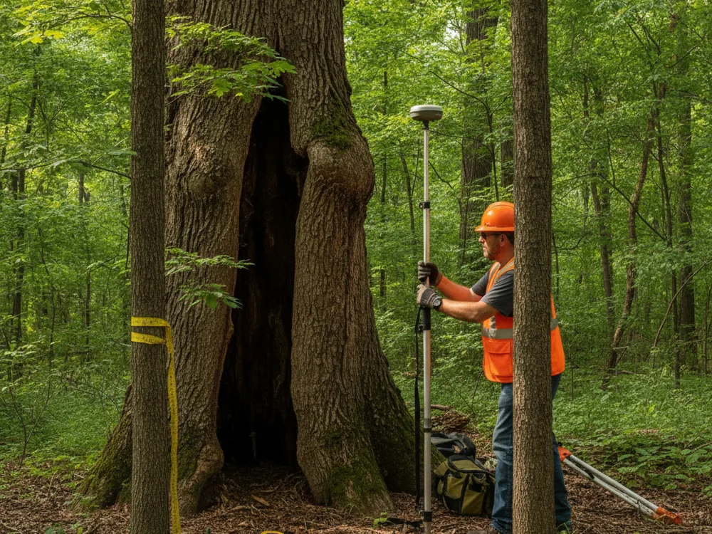
We field-locate each tree and map its exact position, trunk size, and canopy.

Site Plan Ready

Tree data delivered in a survey drawing your architect or engineer can build from.

Arborist Coordination

We map the trees; a certified arborist identifies species and assesses condition.

Permit Support

Supports municipal tree-preservation, removal, and land-development permit requirements.

Why choose Pi Surveying for Tree Surveys

Accurate tree locations

We locate each specified tree with survey-grade equipment and map its position and trunk size relative to your property and proposed improvements.

Permit-ready mapping

Our tree surveys are prepared to support municipal permit and tree-preservation submittals, based on the jurisdiction’s criteria.

Arborist coordination

We locate the trees; when species or health data is needed, we coordinate with your arborist so their identifications appear on our survey.

Integrated with your site plan

Tree data is tied to the same survey control as your boundary and topographic information for a consistent, usable site plan.

Ready to get started?

Easy Steps to Get Our Service

Pi Surveying provides land surveys for both the private and commercial sector.

Order Placed

Field Work

Draft & Deliver Survey

Tree Surveys — Pi Surveying, Chicagoland

Order your Land Survey Today with Pi Surveying

Get started on your next project with Pi Surveying’s expert land surveying services. Contact us today to schedule your survey and get accurate and reliable results.

Client Testimonials

Don’t take our word for it. Here’s what clients have to say…

General Questions

Find answers to commonly asked questions about ALTA/NSPS Land Title Surveys, providing clarity and information for property transactions.

We locate and map the trees and record trunk size and position. Species identification, when required, is performed by a qualified arborist, and we show that information on our survey drawing.

The trees to be located are defined by the applicable ordinance or the client, often by minimum trunk diameter or by protected-species criteria. We survey to the criteria that apply to your project.

Many Chicagoland municipalities require existing trees to be located and documented so reviewers can evaluate tree preservation and site impact before approving construction.

Need your survey quick? Don't delay, get a quote today!