(773) 444-0445

Mon-Fri 9am-5pm CST
support@pisurveying.com

Utility Surveys

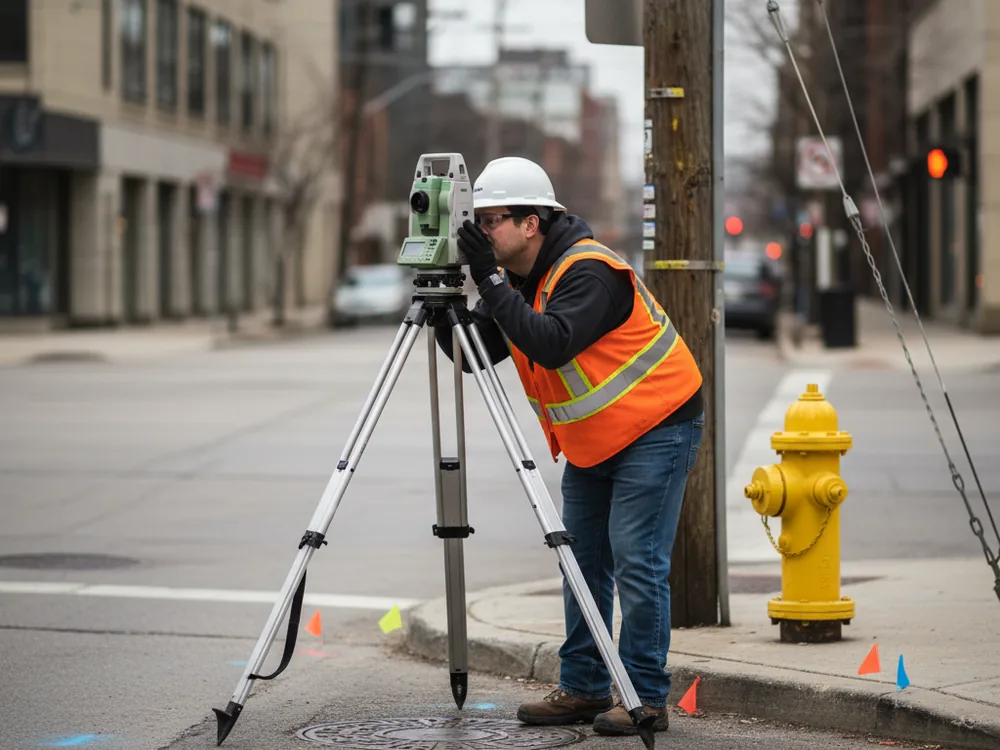
Surveying and mapping of visible and marked utilities to support design, permitting, and construction planning.

Visible Utilities Mapped

We locate and map surface utility features like manholes, valves, poles, and meters.

Marked Lines Surveyed

We survey and map buried utilities after JULIE 811 or a SUE provider marks them.

Design-Grade Drawings

Utility data delivered in survey drawings for engineering and site design.

Conflict Awareness

Helps identify potential utility conflicts before you excavate or build.

Why choose Pi Surveying for Utility Surveys

Accurate utility mapping

We survey visible utility features and the marks provided by locating or SUE services, then map them precisely on your site drawing.

Coordinated with locators

We work with JULIE 811 locate marks and SUE providers so subsurface information is captured and mapped to survey control.

Clear scope

Our drawings distinguish surveyed surface features from marked subsurface utilities so users understand the source and limits of the data.

Design-ready deliverables

Utility data is tied to the same control as your boundary and topographic survey, producing a base map ready for engineering and design.

Ready to get started?

Easy Steps to Get Our Service

Pi Surveying provides land surveys for both the private and commercial sector.

Order Placed

Field Work

Draft & Deliver Survey

Utility Surveys — Pi Surveying, Chicagoland

Order your Land Survey Today with Pi Surveying

Get started on your next project with Pi Surveying’s expert land surveying services. Contact us today to schedule your survey and get accurate and reliable results.

Client Testimonials

Don’t take our word for it. Here’s what clients have to say…

General Questions

Find answers to commonly asked questions about ALTA/NSPS Land Title Surveys, providing clarity and information for property transactions.

No. We survey and map utilities that are visible or that have been marked by a locating service such as JULIE 811 or a Subsurface Utility Engineering provider. We accurately document what has been located and marked; we do not perform the underground locating itself.

JULIE 811 and SUE providers locate and mark utilities in the field. A utility survey measures those marks and visible features and maps them accurately on a scaled drawing tied to your project’s survey control.

Yes. Utility features are commonly surveyed alongside topographic and boundary work so all site data shares the same control and appears on one coordinated base map.

Need your survey quick? Don't delay, get a quote today!