(773) 444-0445

Mon-Fri 9am-5pm CST
support@pisurveying.com

FEMA Flood Hazard Determination

A survey that locates a structure or parcel relative to the mapped FEMA flood zone and base flood elevation to clarify flood-zone status.

FIRM Panel Review

We locate your parcel on the governing FEMA Flood Insurance Rate Map to identify flood zones.

Zone & BFE Identified

The determination reports the flood zone and, where mapped, the Base Flood Elevation.

Structure vs. Floodplain

Surveyed structure and grade elevations are compared against the mapped floodplain boundary.

LOMA Support

Findings can support a Letter of Map Amendment request when the structure sits above the floodplain.

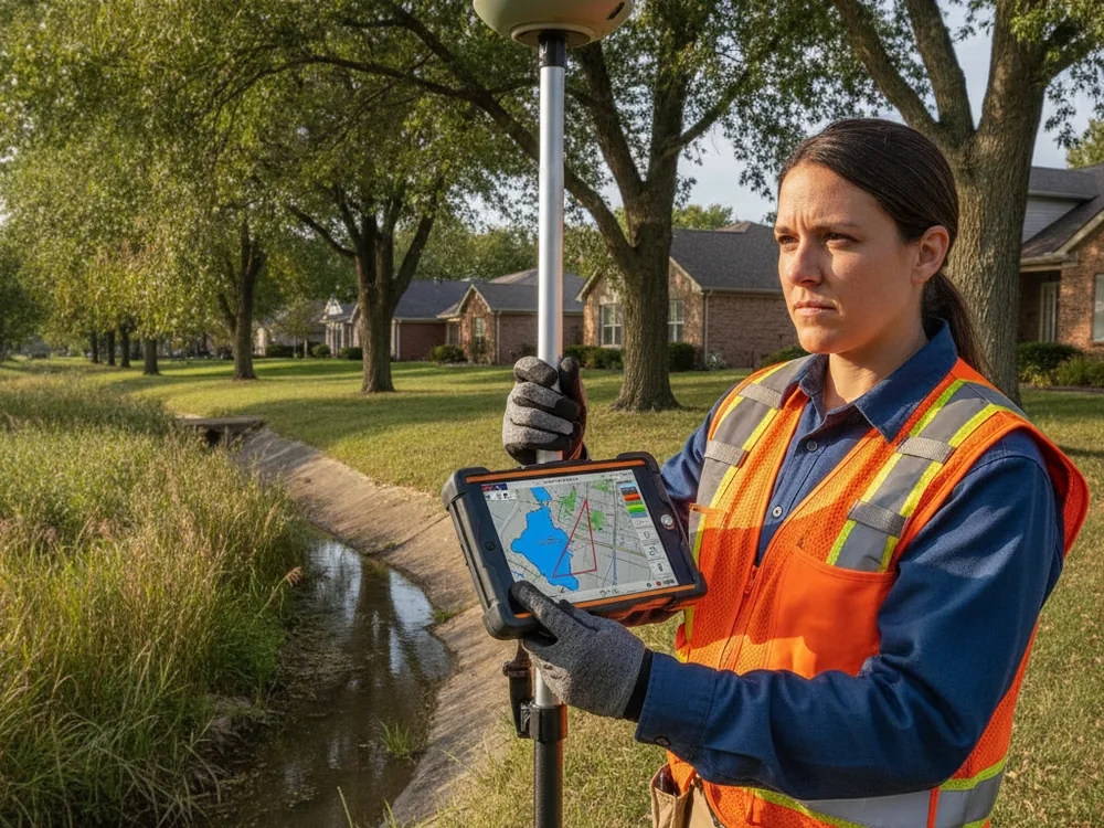
Why choose Pi Surveying for FEMA Flood Hazard Determination

Map-based positioning

The determination shows where the structure or parcel sits relative to FEMA’s mapped flood zones and the Special Flood Hazard Area boundary.

Support for map changes

The survey data can support a request for a FEMA Letter of Map Amendment or Revision when a property appears to be mapped in error.

Informed decisions

Owners, lenders, and insurers gain a clearer picture of a property’s mapped flood status to guide next steps.

Licensed determination

The work is performed and certified by an Illinois-licensed professional land surveyor using the effective FEMA flood mapping.

Ready to get started?

Easy Steps to Get Our Service

Pi Surveying provides land surveys for both the private and commercial sector.

Order Placed

Field Work

Draft & Deliver Survey

FEMA Flood Hazard Determination — Pi Surveying, Chicagoland

Order your Land Survey Today with Pi Surveying

Get started on your next project with Pi Surveying’s expert land surveying services. Contact us today to schedule your survey and get accurate and reliable results.

Client Testimonials

Don’t take our word for it. Here’s what clients have to say…

General Questions

Find answers to commonly asked questions about ALTA/NSPS Land Title Surveys, providing clarity and information for property transactions.

A flood hazard determination focuses on where the structure or parcel falls relative to the mapped flood zone. An Elevation Certificate documents specific building elevations on FEMA’s standard form. The two are often used together when addressing flood-zone questions.

The survey provides the elevation and location data FEMA reviews for a Letter of Map Amendment or Revision. Whether a property is removed from the Special Flood Hazard Area is decided by FEMA, not the surveyor, based on that data and its criteria.

Federally regulated lenders generally require flood insurance for structures in a Special Flood Hazard Area. A surveyed determination can confirm or clarify the mapped status that drives that requirement.

Need your survey quick? Don't delay, get a quote today!