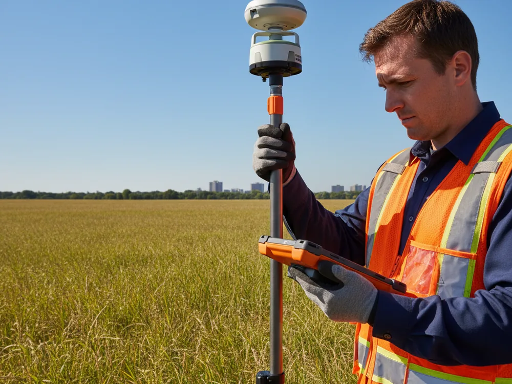
Uses multi-constellation GNSS receivers to establish precise coordinates across the project site.
Ties measurements to the Illinois State Plane Coordinate System for consistent, referenced results.
Covers open and expansive parcels faster than conventional ground-based traversing.
Sets survey control points that support boundary, topographic, and engineering work.

Survey-grade GNSS equipment establishes precise coordinates for control and feature location on projects of many sizes.
Where the sky is clear, GNSS lets surveyors collect and stake points efficiently across large or spread-out sites.
GNSS positions can be referenced to established coordinate systems so data integrates with other project and survey information.
GNSS methods are used under the responsible charge of an Illinois Professional Land Surveyor as part of the broader survey work.
Pi Surveying provides land surveys for both the private and commercial sector.
Get started on your next project with Pi Surveying’s expert land surveying services. Contact us today to schedule your survey and get accurate and reliable results.
Don’t take our word for it. Here’s what clients have to say…
Find answers to commonly asked questions about ALTA/NSPS Land Title Surveys, providing clarity and information for property transactions.
GPS refers to the United States satellite system, while GNSS is the broader term covering GPS and other satellite constellations used together for positioning.
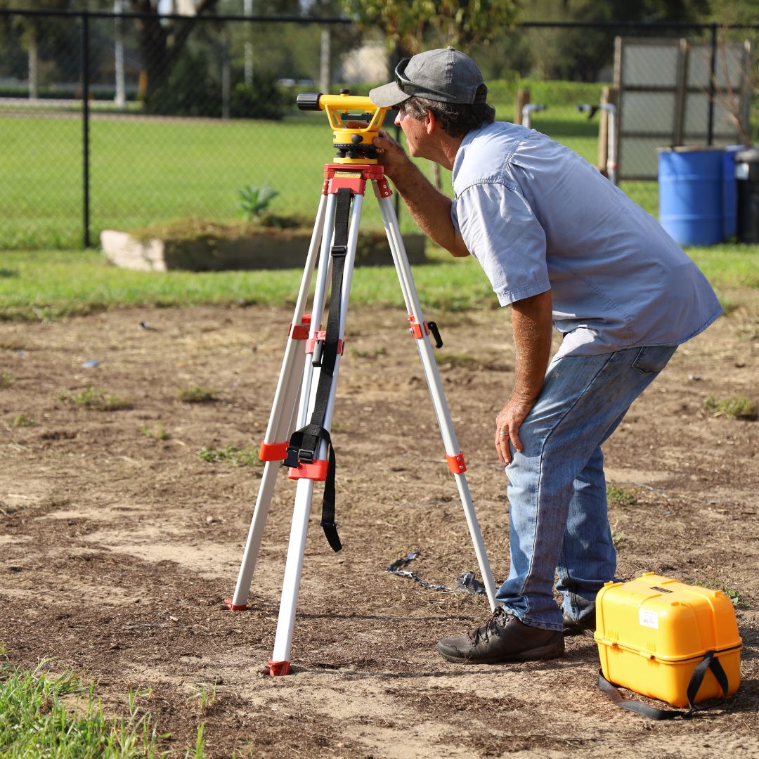
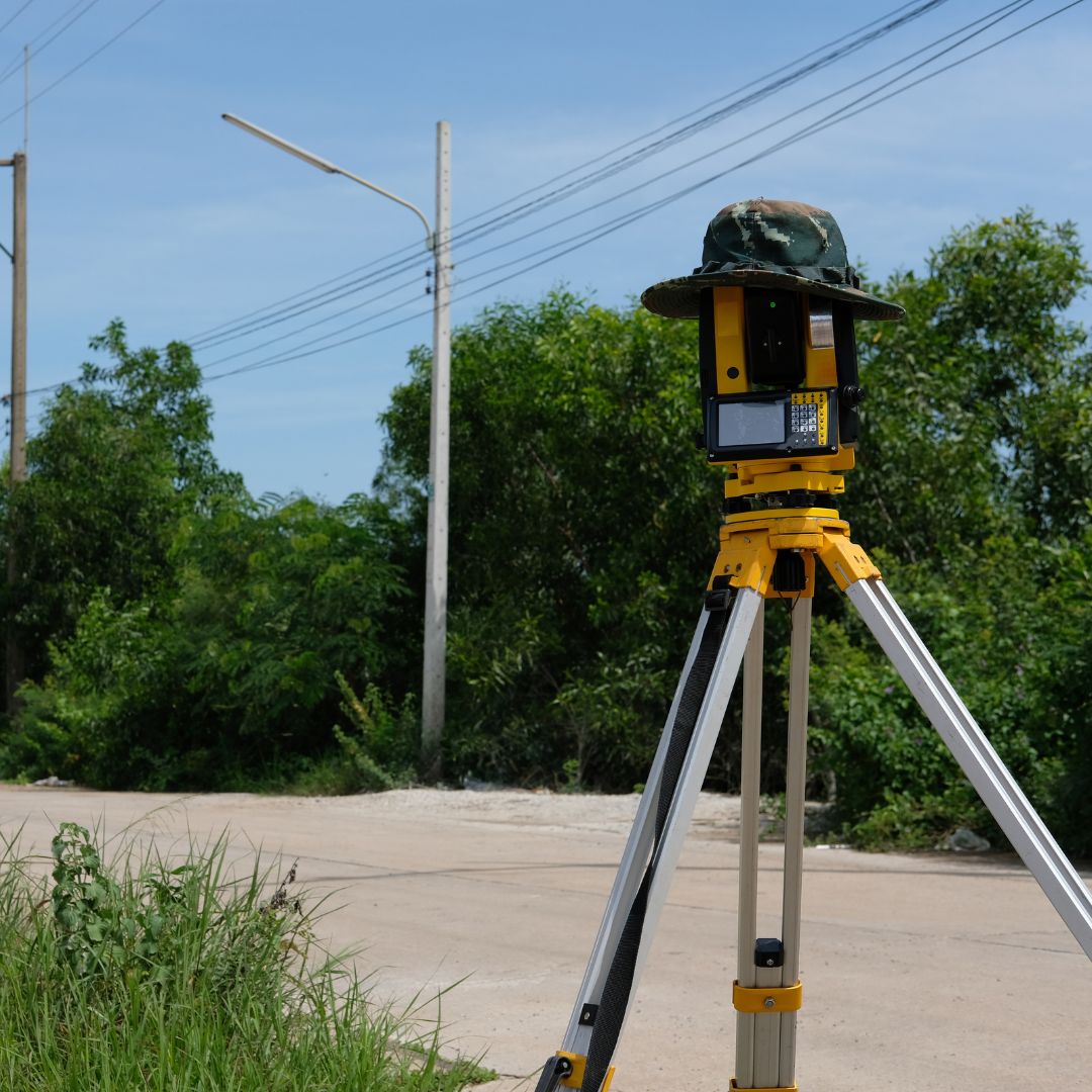
GNSS is one tool among several. It is well suited to open sites and control work, and is often combined with conventional instruments where satellite signals are obstructed.
Yes. Heavy tree canopy and tall structures can block or reflect satellite signals, so surveyors combine GNSS with other methods in obstructed areas.