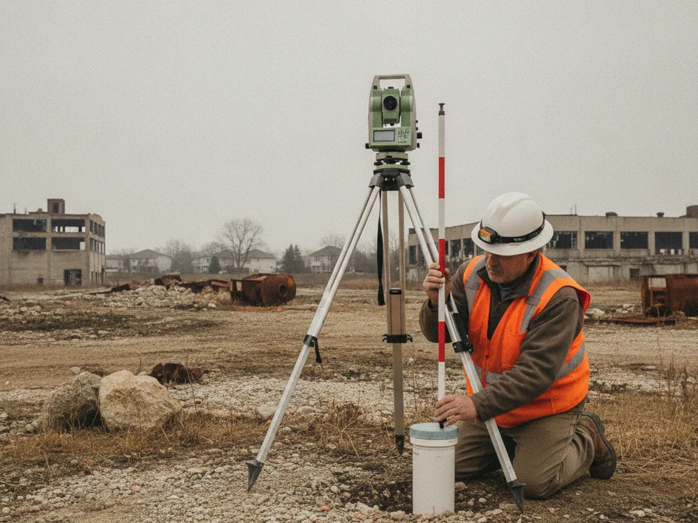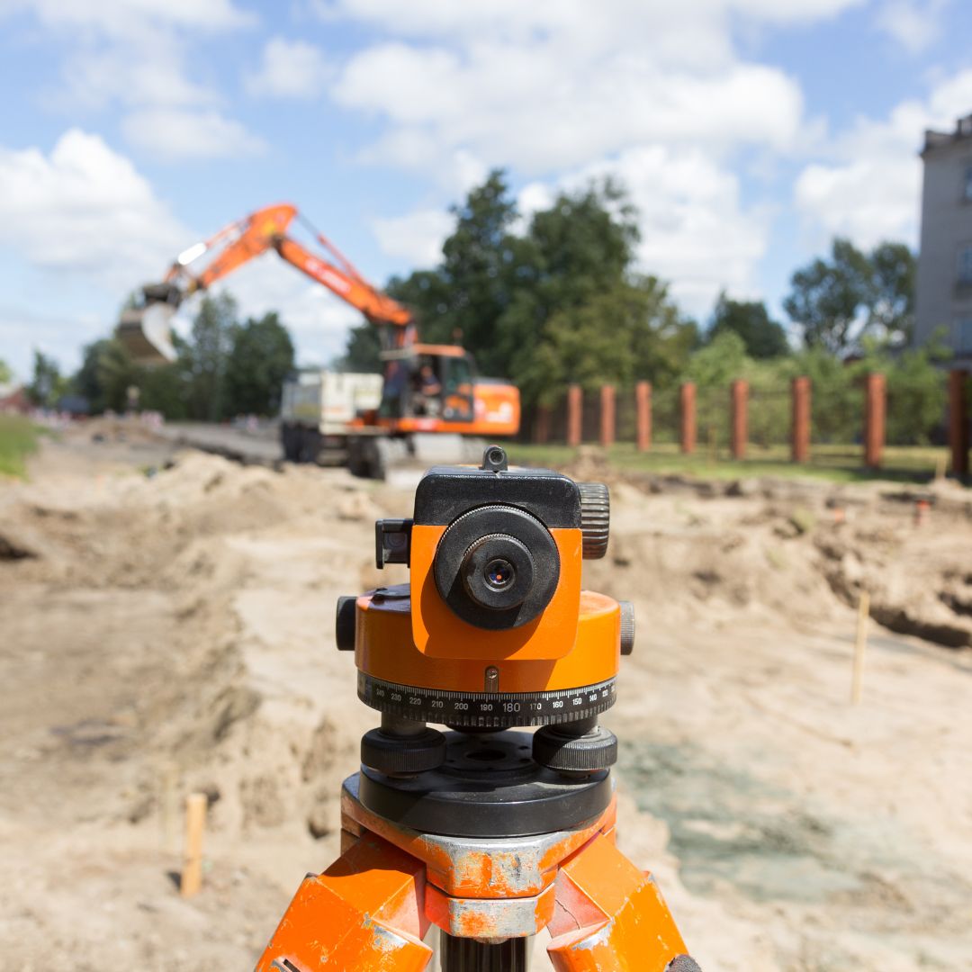
Establishes the horizontal position of each monitoring well for site plans and reporting.
Determines reference elevations at each well used to calculate groundwater levels.
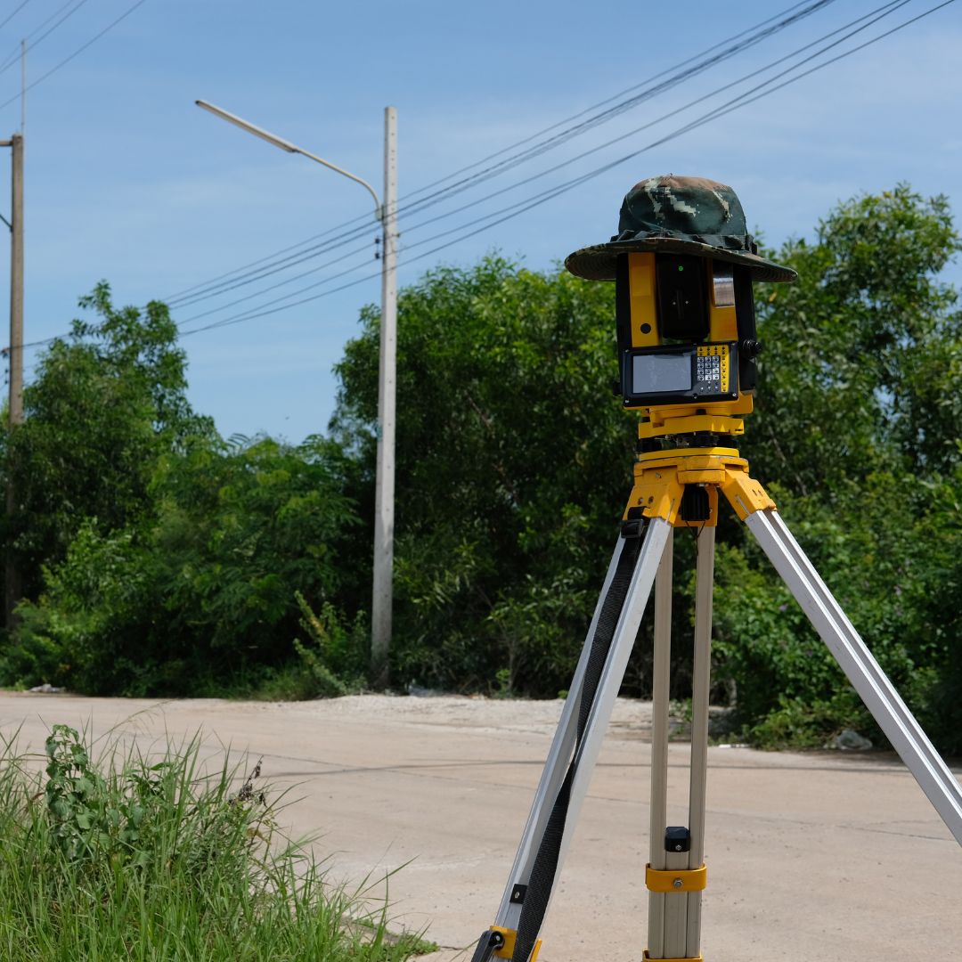
Ties well positions and elevations to established horizontal and vertical datums.
Provides survey data others use for groundwater sampling and regulatory submittals.

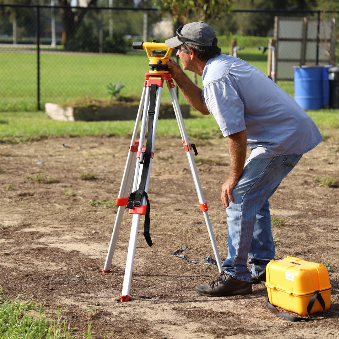
We determine top-of-casing elevations to the precision your consultant’s groundwater gradient calculations require.
Elevations are referenced to an established vertical datum so results are consistent across monitoring events and reporting cycles.
We provide clear tabulated coordinates and elevations formatted to support your environmental and regulatory documentation.
Work is performed under an Illinois Professional Land Surveyor familiar with Chicagoland site conditions and access requirements.
Pi Surveying provides land surveys for both the private and commercial sector.
Get started on your next project with Pi Surveying’s expert land surveying services. Contact us today to schedule your survey and get accurate and reliable results.
Don’t take our word for it. Here’s what clients have to say…
Find answers to commonly asked questions about ALTA/NSPS Land Title Surveys, providing clarity and information for property transactions.
No. Our role is to survey the well locations and determine measuring-point elevations. Sampling, gauging, and laboratory analysis are performed by your environmental consultant or their contractor.
We survey the designated measuring point, which is usually the top of the well casing, or another reference point your consultant specifies for consistent gauging.
Yes. We can return to survey new, repaired, or re-developed wells and tie them to the same datum used for the original network.