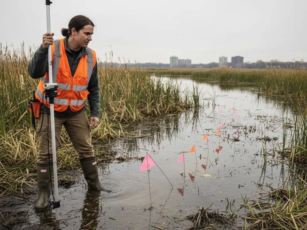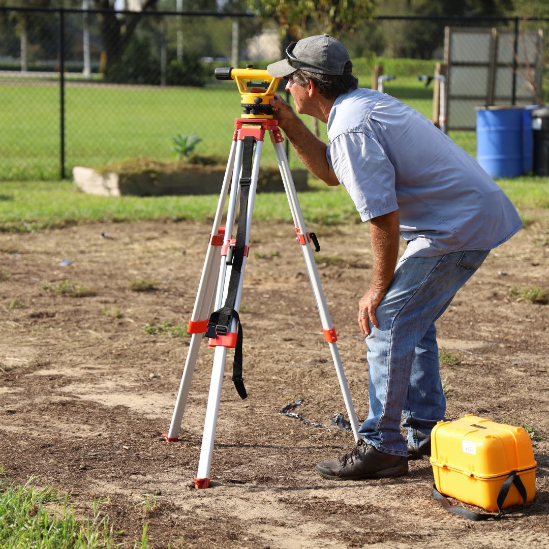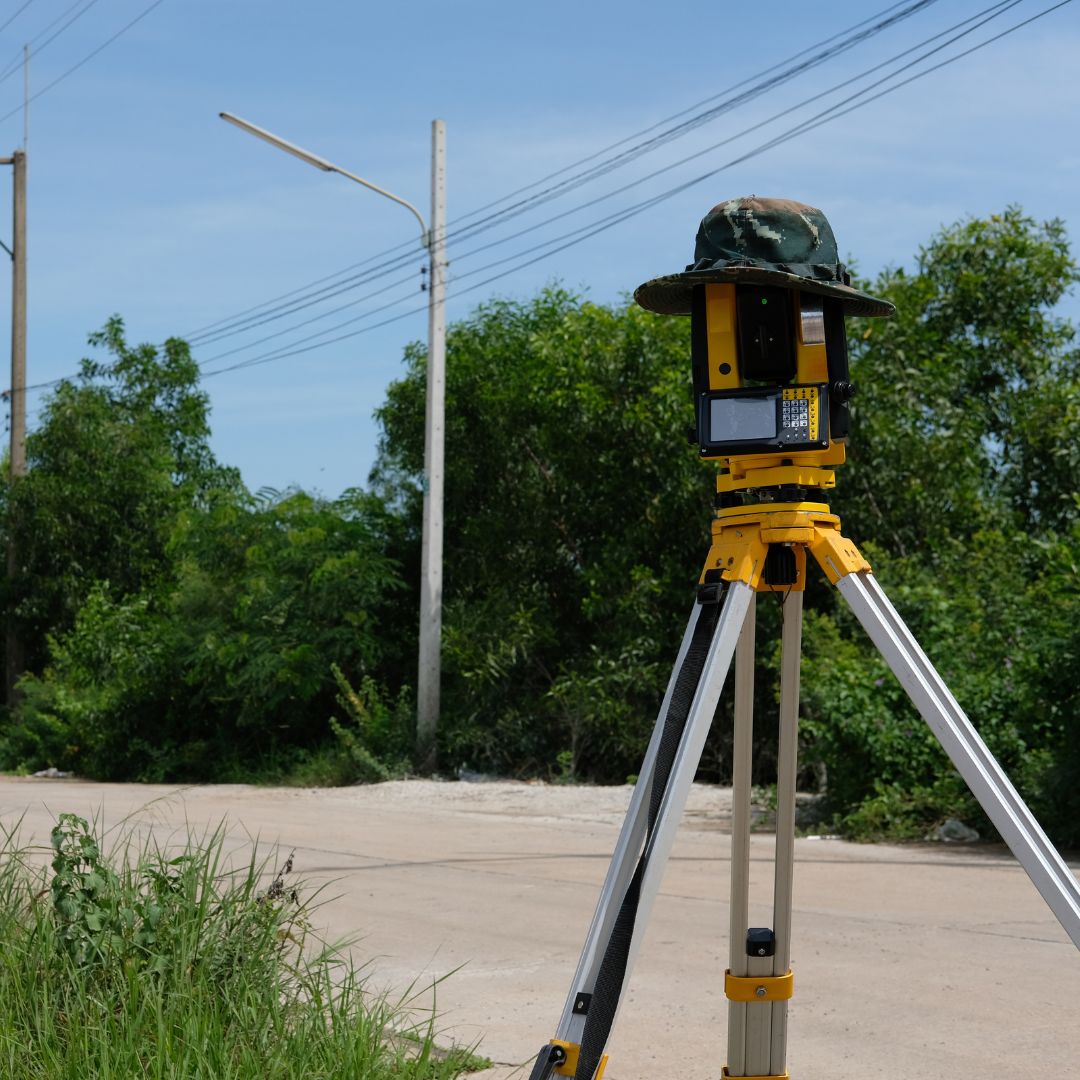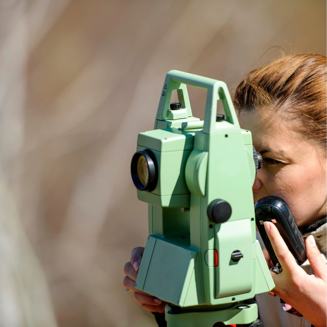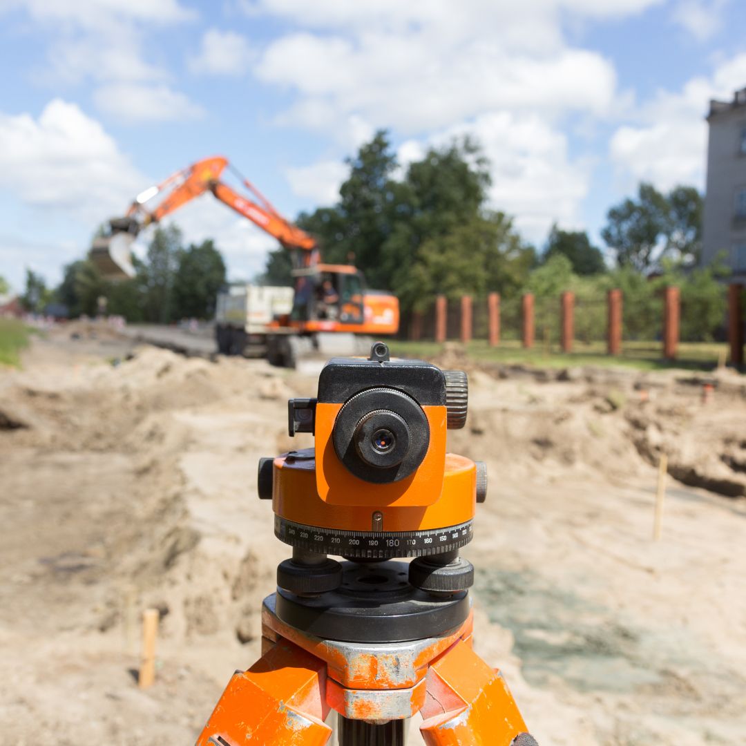
We field-locate and map the wetland boundary flags set by a wetland scientist.
Delivers a precise, scaled map of the delineated wetland edge on your parcel.
Supports Corps, IEPA, and local permit submittals requiring surveyed wetland limits.
A qualified wetland scientist delineates; we provide the survey and mapping.

We survey each wetland flag set by the environmental scientist and produce a precise, scaled map of the delineated boundary tied to your site.
The wetland scientist determines and flags the boundary; we perform the survey and mapping, so the exhibit clearly reflects each professional’s work.
Our delineation surveys are prepared to support regulatory and permitting submittals that require a scaled, surveyed wetland boundary.
The wetland boundary is mapped on the same control as your boundary and topographic survey for coordinated site planning.
Pi Surveying provides land surveys for both the private and commercial sector.
Get started on your next project with Pi Surveying’s expert land surveying services. Contact us today to schedule your survey and get accurate and reliable results.
Don’t take our word for it. Here’s what clients have to say…
Find answers to commonly asked questions about ALTA/NSPS Land Title Surveys, providing clarity and information for property transactions.
No. The ecological determination and field flagging of the wetland boundary are performed by a qualified wetland or environmental scientist. Pi Surveying surveys those flags and produces an accurate, scaled map of the delineated boundary.
You receive a scaled survey exhibit showing the location of the surveyed wetland flags and the resulting boundary, tied to your property and suitable for permitting and site planning submittals.
Yes. We survey the wetland flags using the same control as your boundary and topographic work, so the wetland boundary aligns with the rest of your site data on one coordinated map.