(773) 444-0445

Mon-Fri 9am-5pm CST

Topographical Land Surveys

Accurate Mapping and Elevation Data for Informed Decision-Making

Accurate Elevation Data Generation

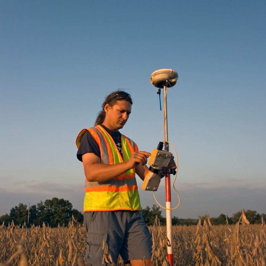
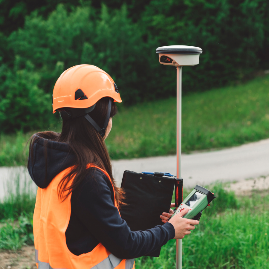
Obtain precise elevation data for detailed topographic models and analysis.

Comprehensive Contour Mapping

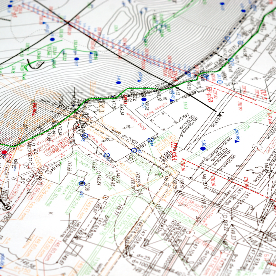
Visualize land topography with comprehensive contour mapping for accurate representation.

Natural and Man-made Feature Identification

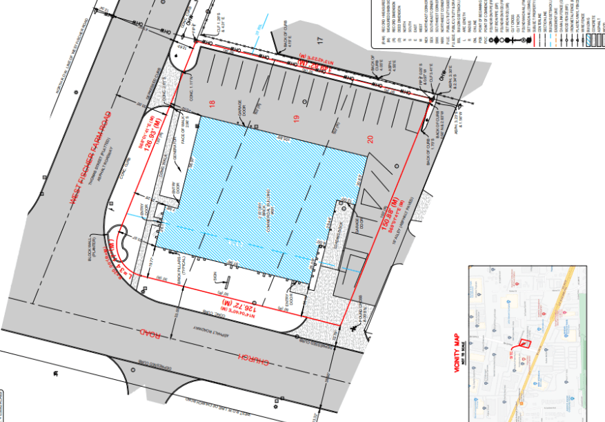
Identify natural features, structures, utilities, and other elements on the land.

Detailed Site Constraints Analysis

Thoroughly analyze site constraints to address limitations in development and construction projects.

Why choose Pi Surveying for Topographical Land Surveys?

Accurate Site Planning

Accurate topographic data enables precise site planning for construction, infrastructure development, and landscaping projects.

Enhanced Design Solutions

Comprehensive understanding of the land’s topography allows for optimized and efficient design solutions in various industries.

Site Constraint Identification

Early detection of potential site limitations helps mitigate risks and avoid costly surprises during project implementation.

Environmental Assessment

Topographical surveys aid in assessing environmental factors and optimizing sustainability measures for land development.

Improved Decision-Making

Detailed topographic information supports informed decision-making, reducing project delays and enhancing overall project success.

Ready to do Topographical Survey?

Easy Steps to Get Our Service

Pi Surveying provides land surveys for both the private and commercial sector.

Order Placed

Field Work

Draft & Deliver Survey

Schedule your Land Survey today with Pi Surveying

Get started on your next project with Pi Surveying’s expert land surveying services. Contact us today to schedule your survey and get accurate and reliable results.

Client Testimonials

Don’t take our word for it. Here’s what clients have to say…

General Questions

Find answers to commonly asked questions about Residential Boundary Surveys, providing clarity and information for property transactions.

A Topographical Land Survey is a detailed survey that maps and measures the elevation, contours, and features of a piece of land, providing valuable information for design, construction, and planning purposes.

A Topographical Land Survey is crucial for understanding the terrain, identifying potential site constraints, and facilitating accurate design and construction processes. It aids in optimizing project feasibility and mitigating risks.

The duration of a Topographical Land Survey varies depending on the size and complexity of the area. It can range from a few days to several weeks, considering factors such as research, fieldwork, data processing, and report preparation.

Topographical Land Surveys employ advanced surveying equipment such as total stations, GPS receivers, laser scanners, and digital terrain models (DTMs) to capture accurate elevation data, contours, and feature details.


Topographical Land Surveys have various applications, including land development, urban planning, engineering design, environmental assessment, floodplain mapping, infrastructure projects, and site analysis for construction or landscaping.

Start Consultation If You Have Any Question About Our Services

Copyright © 2026 PI Surveying, PLLC. All rights reserved.