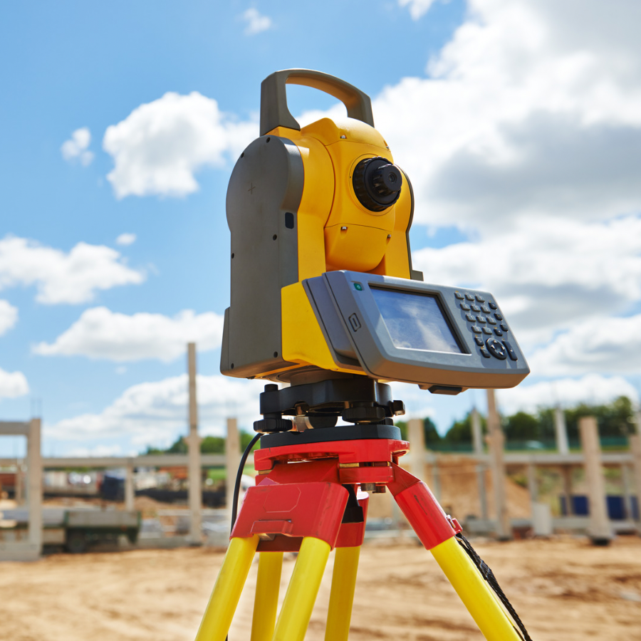
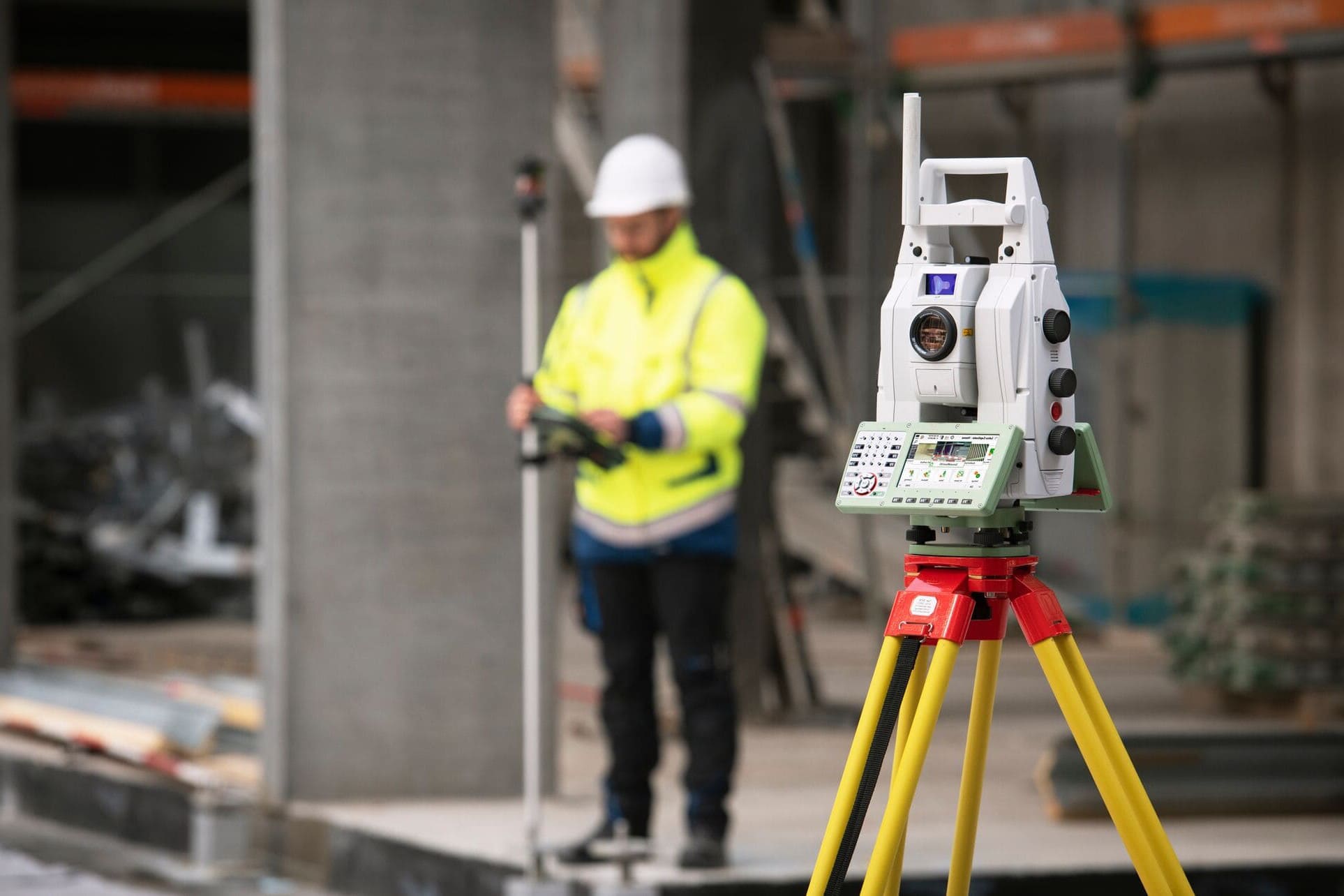
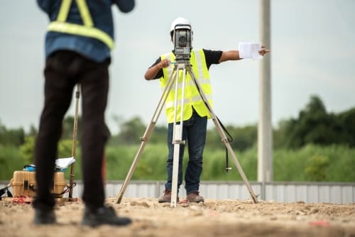
Precise measurement of your structure's elevation relative to the base flood elevation, using surveying-grade equipment and techniques.
Certificates prepared in strict accordance with FEMA guidelines, ready for submission to your insurer or local floodplain administrator.
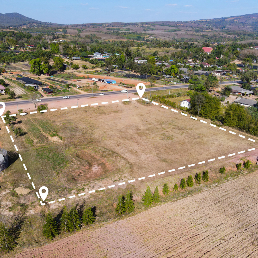
Expert review of FEMA flood maps to confirm your property's flood zone and determine your elevation certificate requirements.
Efficient scheduling and processing to get your completed elevation certificate to you quickly, meeting your insurance or permitting deadlines.
Our elevation certificates provide precise data on your property’s flood risk, helping you make informed insurance and building decisions.
Our licensed surveyors deliver accurate elevation certificates quickly, minimizing delays for your insurance application or building permit.
Expertise in FEMA and local floodplain regulations ensures your elevation certificate meets all requirements for insurance and permitting purposes.
An accurate elevation certificate can help you secure lower flood insurance premiums by documenting your property’s true elevation and flood risk.
Pi Surveying provides land surveys for both the private and commercial sector.
Get started with Pi Surveying’s expert elevation certificate services. Contact us today to schedule your certificate and get accurate and reliable results.
Don’t take our word for it. Here’s what clients have to say…
Find answers to commonly asked questions about Elevation Certificates, providing clarity and information for property owners.
An Elevation Certificate is an official FEMA document that certifies a building’s elevation relative to the base flood elevation, used to assess flood risk and determine insurance requirements.
An Elevation Certificate is often required by mortgage lenders and insurance companies to determine your flood insurance rate, and may be required by local officials for permitting in flood-prone areas.
The process typically includes a site visit to measure your building’s elevation, a review of FEMA flood maps, preparation of the certificate by a licensed surveyor, and delivery of the completed document for your insurance or permitting needs.
Most elevation certificates can be completed within a few business days of the site visit, though timing can vary depending on scheduling, property access, and the complexity of the survey.
Common challenges include limited property access, older structures with unclear reference points, discrepancies with previous surveys, and coordinating scheduling with insurers or local officials. Working with an experienced surveyor helps address these issues effectively.
Pi Surveying, located in Oak Brook, a suburb of Chicago, Illinois, is a professional land surveying design firm that provides land surveys for both the private and commercial sector.